

Description
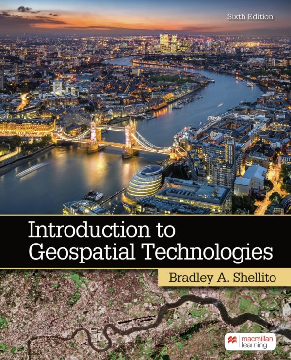
Introduction to Geospatial Technology is an essential resource for students and professionals seeking to understand the fundamental concepts and applications of geospatial technologies. Author Bradley Shellito provides a thorough exploration of Geographic Information Systems (GIS), remote sensing, and GPS technology, making complex spatial analysis concepts accessible to beginners.
The book covers key topics including data collection methods, spatial analysis techniques, map projections, and real-world applications across various industries such as urban planning, environmental management, and natural resource conservation. Through clear explanations and practical examples, readers gain hands-on experience with geospatial tools and learn how to interpret and visualize geographic data effectively.
Whether you’re entering the field of geospatial science or seeking to enhance your technical skills, this comprehensive introduction provides the foundation needed to understand how technology shapes our understanding of the world’s geography and spatial relationships.


Reviews
There are no reviews yet.