
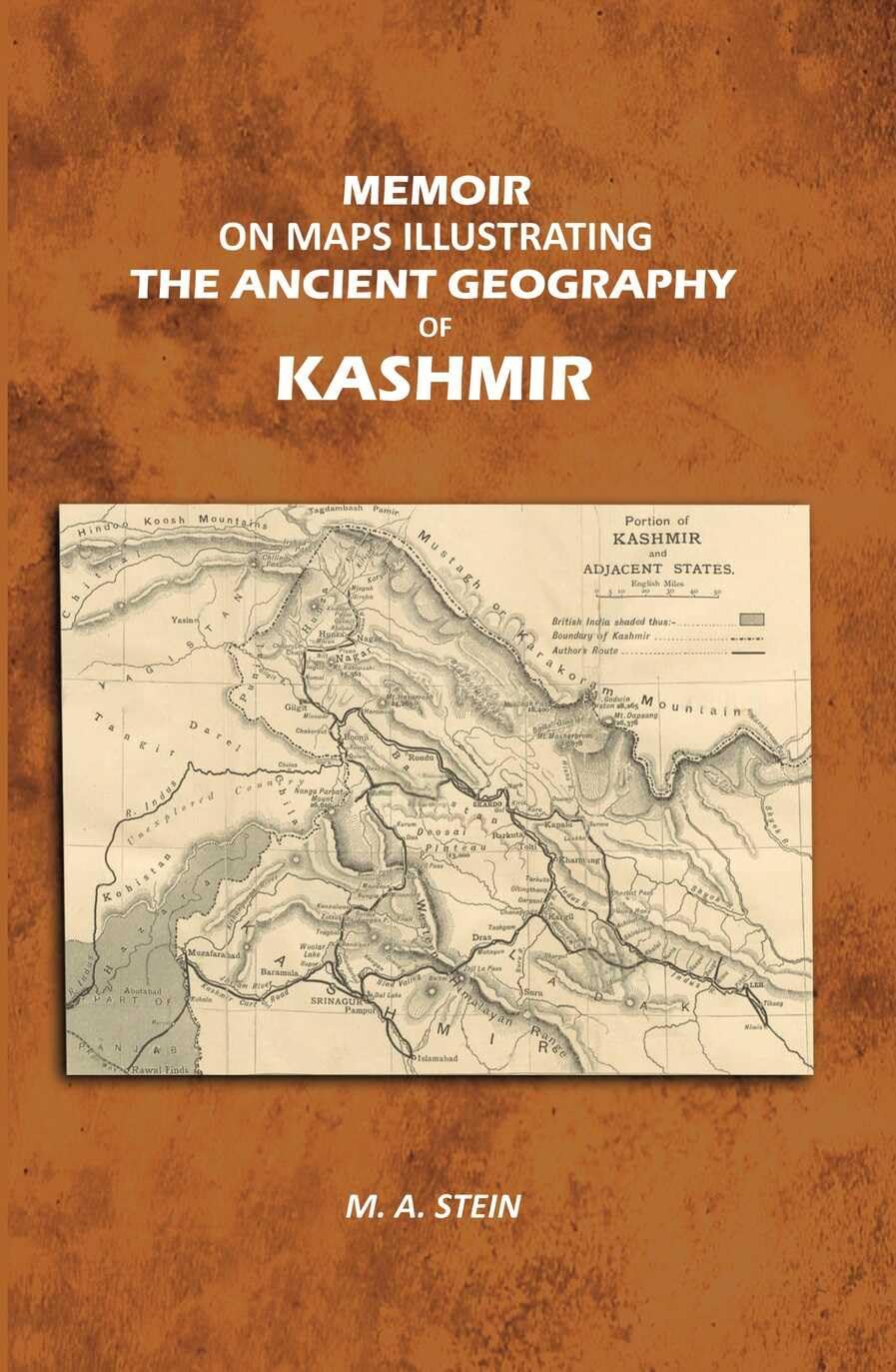
Description
M. A. Stein’s ‘Memoir on Maps Illustrating the Ancient Geography of Kashmir’ is a foundational work in understanding the historical geography of the Kashmir region. This scholarly publication combines detailed cartographic illustrations with rigorous historical analysis to map the ancient territories, trade routes, and settlements of Kashmir.
Stein, a renowned orientalist and archaeologist, meticulously documented geographical features and their historical significance, offering readers invaluable insights into how Kashmir’s landscape and political boundaries evolved over centuries. The memoir features carefully prepared maps that illustrate ancient pathways, territorial divisions, and important geographic landmarks mentioned in historical texts.
This work serves as an essential reference for historians, geographers, and scholars interested in Central Asian history, ancient Indian geography, and the cultural development of Kashmir. The combination of textual analysis and cartographic representation makes it a unique contribution to historical geography studies.


Reviews
There are no reviews yet.